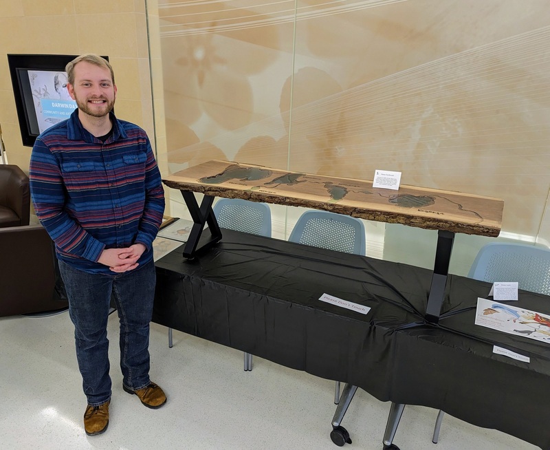
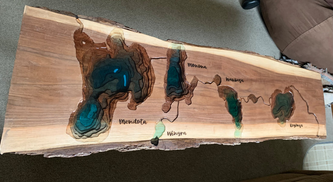
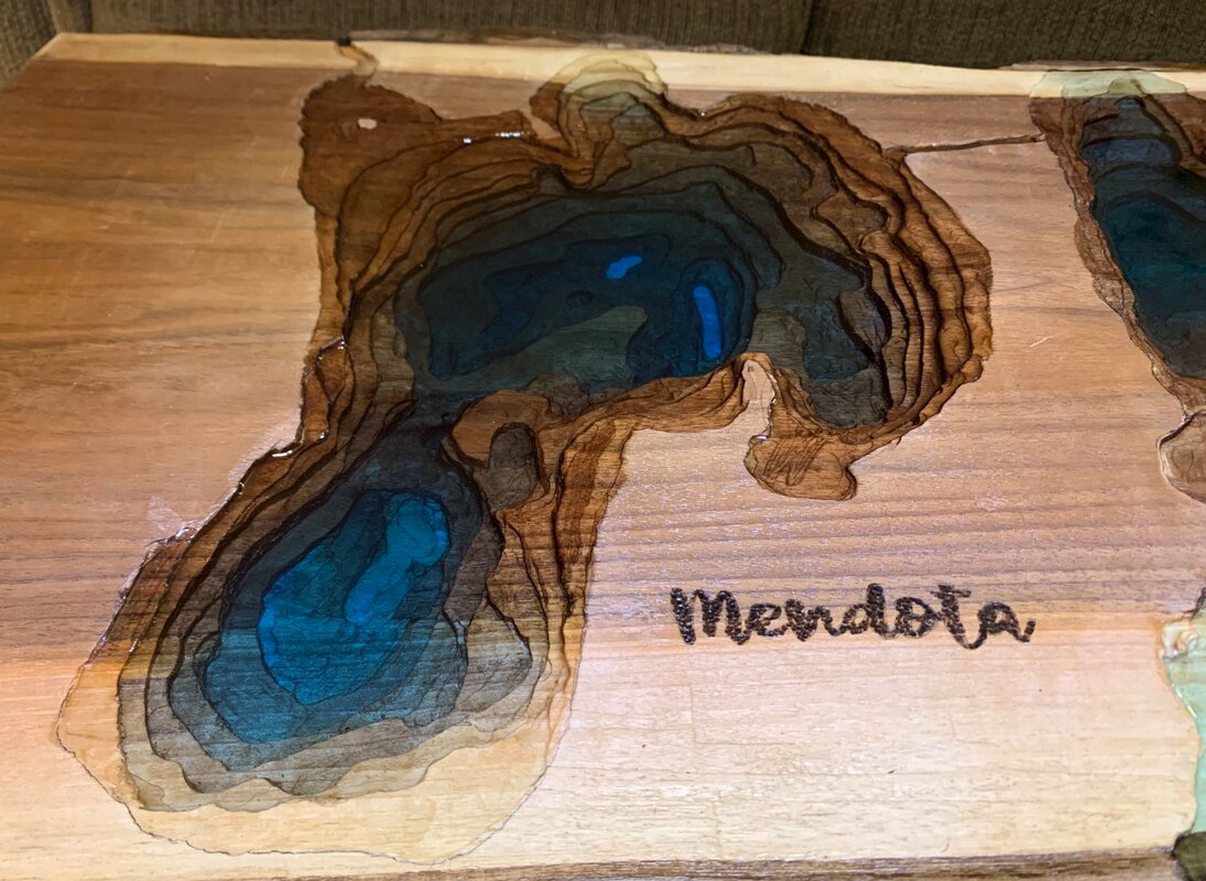
I recently completed a table with the Yahara Chain of lakes from Madison, Wisconsin carved into it. Every 1/8" of wood depth represents five feet of water. Lakes are colored to match their average color from satellite imagery.
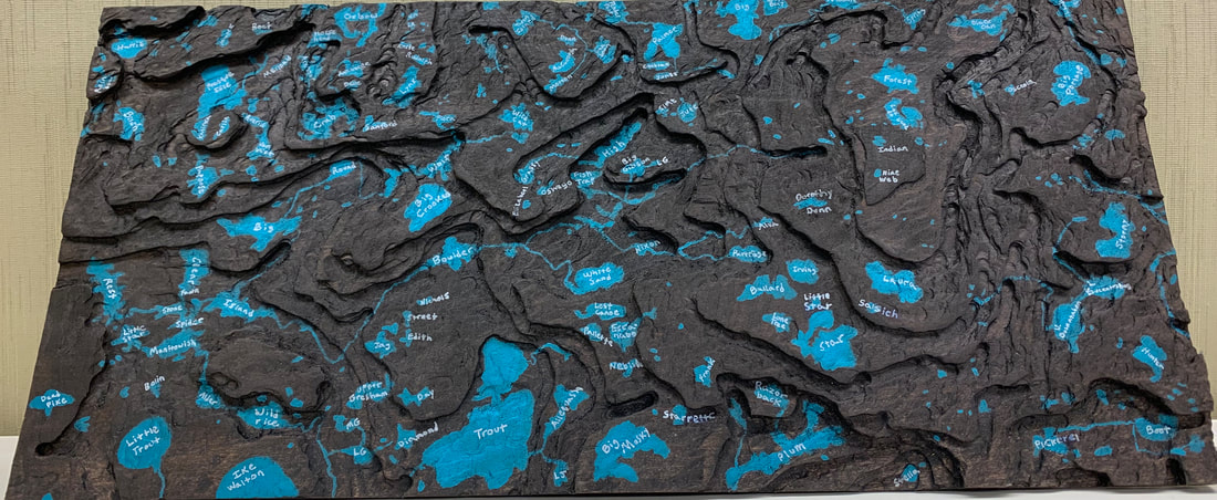
A wood carving of groundwater level near many lakes in Vilas County, WI. Lakes painted on and labeled.
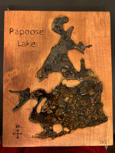
- Here, I used excess sediment collected during sampling for my Master's in Papoose Lake, WI to create this substrate map. Sediment was collected at 24 different sites in the lake. I carved the lake outline into wood and filled it with resin.
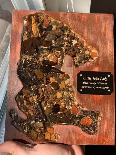
Another substrate map, this time created with sediment from Little John Lake in Vilas County, Wisconsin.
